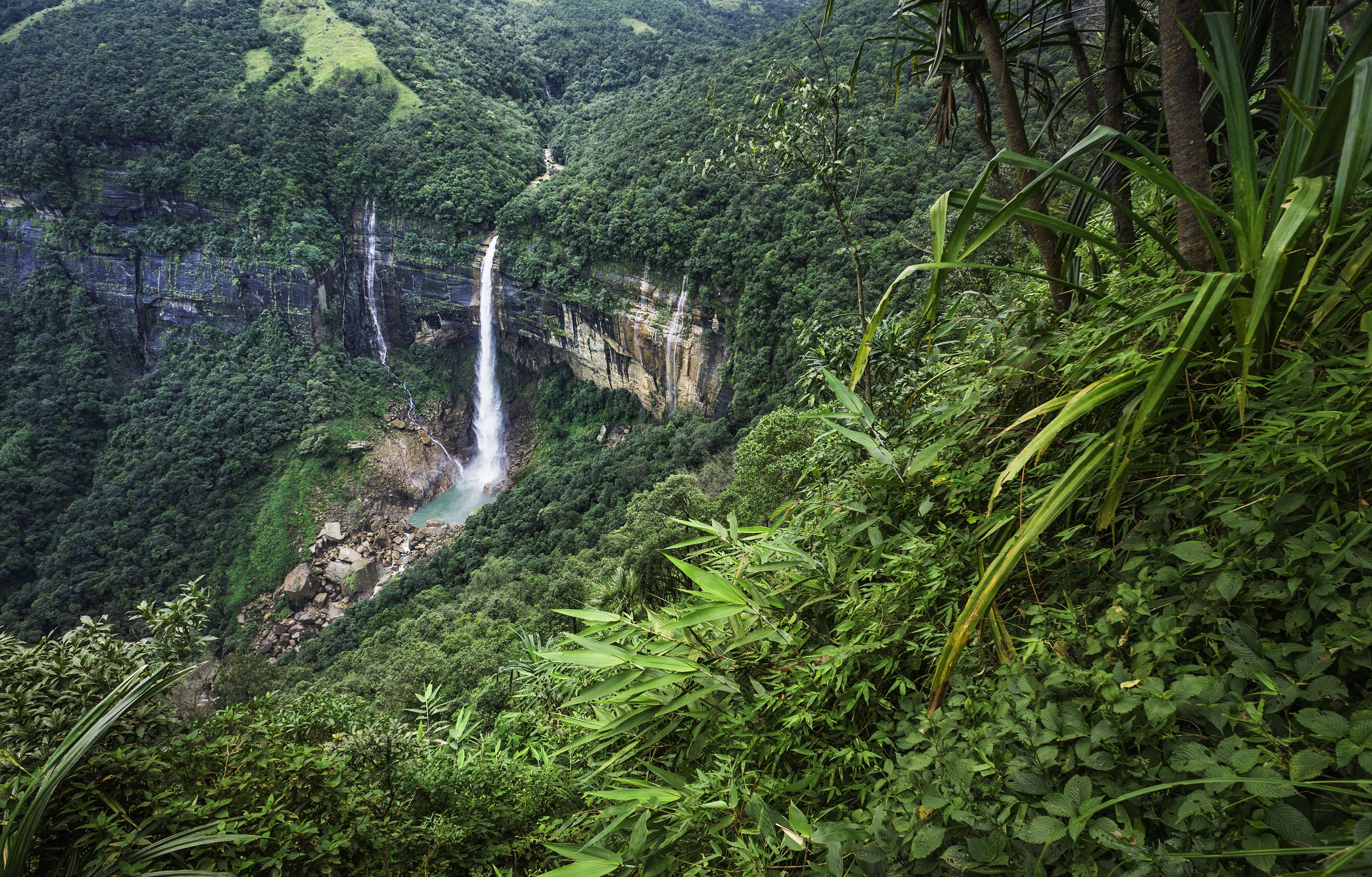
One among the Seven Sister States of Northeast India, Meghalaya is the wettest place in the country. The name of the state means the abode of clouds in Sanskrit that aptly characterises it. A land of dense forests, rich fauna and spectacular waterfalls, Meghalaya is nestled in the eastern sub-Himalayas. Shillong is the capital of the state, while Tura, Mawsynram, Baghmara, Jowai and Nongstoin are some important towns.
Since the state was once a part of the Indian state of Assam, it is bounded on the north and east by it. Western and southern Meghalaya share their territory with Bangladesh. Accommodating a wide range of mammals and birds, the thick forests of wildlife sanctuaries within the state are perfect for a botanical and zoological expedition.
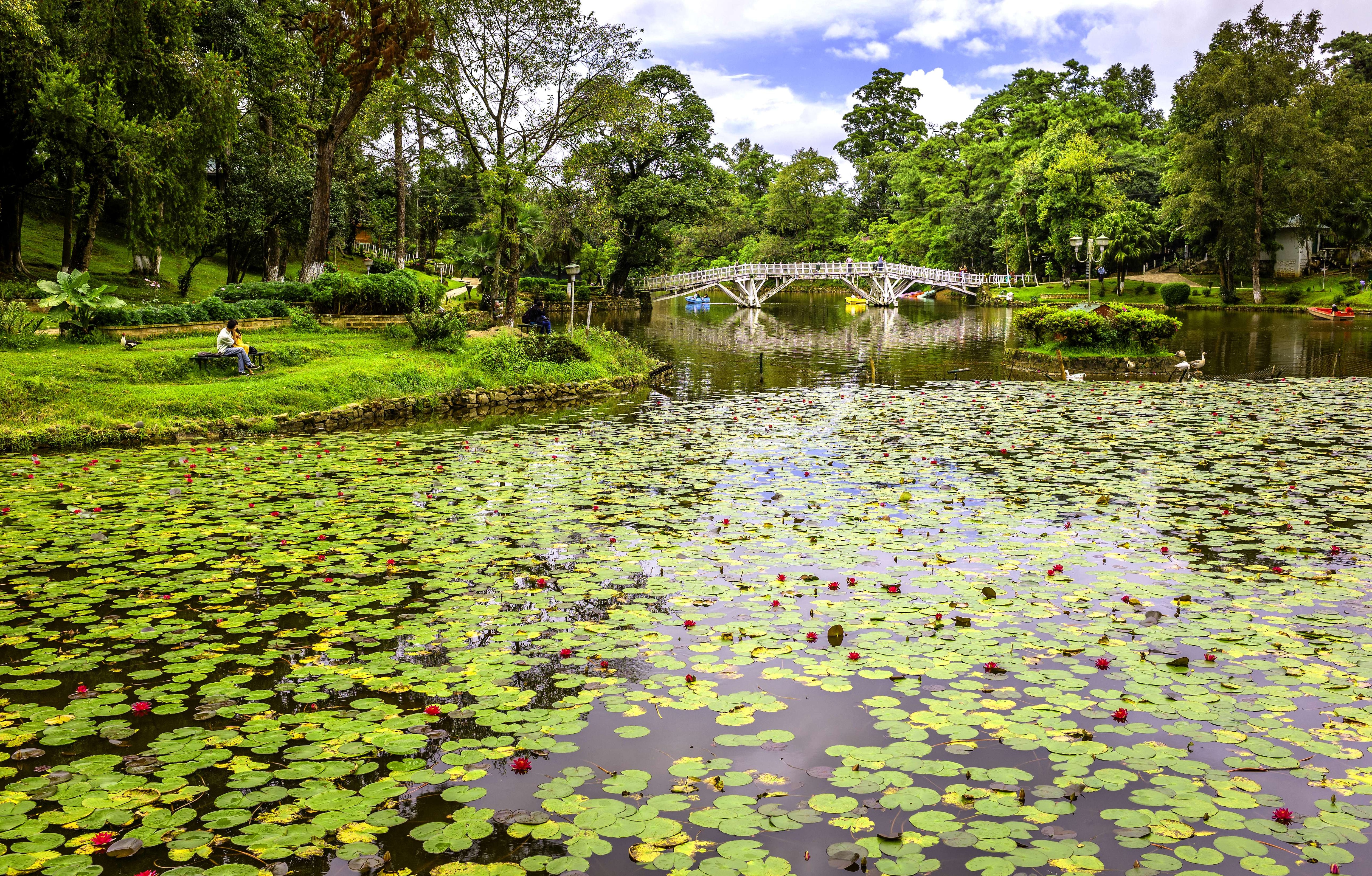
Famous parks like Lady Hydari Park, Eco Park and Thangkharang Park are apt venues to relax in the lap of nature. A bevy of viewpoints are situated at various locations within Meghalaya, from where magnificent vistas of the valleys, streams, and tiny villages tucked amidst lush mountains, can be observed. Moreover, Dainthlen Falls, Elephant Falls, Weinia Falls and Krang Suri Falls are among the numerous natural bounties, bestowed upon the state.
Mysterious caves like Krem Lymput, Siju, Synrang-Pamiang and Mawsmai feature unique rock formations that are a result of continuous wind or water erosion over millions of years. Capt. Williamson Sangma State Museum and Don Bosco Centre for Indigenous Cultures are informative storehouses of the history and culture of the state. Rare species of animals and birds can be seen at nature reserves like Nokrek National Park, Balpakram National Park, Nongkhyllem Wildlife Sanctuary and Siju Bird Sanctuary. These sites are not only suitable for jungle walks and birding, but also for activities like camping and trekking.
Local markets in the capital town, such as Bara Bazar and Police Bazar are good venues to buy souvenirs and traditional clothing. Shops at these markets deal in hand-woven shawls, Khasi dresses, mounted butterflies and the famous orange honey. Meghalayan cuisine can be broadly classified into Garo, Khasi and Jaintiasub-types. Pork and other red meats are major ingredients of all the three cuisines. Fish and mushrooms are cooked with other vegetables like yam, pumpkin, gourd and chillies. The local cuisine incorporates a one-of-a-kind style of cooking, wherein food is wrapped in leaves and placed inside bamboo cylinders to incorporate a different flavour into the dish.
History
Meghalaya is of immense archaeological importance as people have been known to live here since the Neolithic period. Predominantly, the state is inhabited by three major tribes, namely Khasi, Garo and Jaintia. As per several historical accounts, the Khasis were the earliest settlers, who came all the way from Myanmar.
All the tree tribes, who had their own kingdoms within the territories of Meghalaya, came under the British administration in the 19th century. Further in 1935, the British made Meghalaya a part of the state of Assam. However, the region then held a semi-autonomous status due to a treaty, signed between Meghalaya and the British crown.
With the partitioning of Bengal in October 1905, the state was incorporated into the newly formed province of Eastern Bengal and Assam. But, soon with the reversal of the partition in 1912, Meghalaya again became a part of Assam. Later, the areas of Meghalaya, except the Khasi states, were deemed ‘backward tracts’ by the British administration and were further regrouped into ‘excluded‘ and ‘partially excluded’ areas.
The history of the state evidently shows that despite being a part of Assam, it enjoyed a semi-autonomous status within Assam’s territory even prior to the independence of India. Also, the two districts of Assam were kept under the jurisdiction of Meghalaya at the time of Indian Independence in 1947. Somewhere around 1960, a new movement began for the establishment of a separate hill state that led to the birth of the state of Meghalaya on 2nd April, 1970. Eventually, Meghalaya attained complete statehood on 21st January, 1972 with the formation of its own legislative assembly.
Geography
Situated in Northeast India, Meghalaya is nestled in the eastern sub-Himalayas. Stretching for around 300 km in length and 110 km in breadth, the state spans over an area of approximately 22429 sq km. To the north, Meghalaya is surrounded by Goalpara, Kamrup and Nowgong districts, and to the east by Dima Hasao and Karbi Anglong districts, all lying within the territory of Assam. The southern and western parts of the state are bounded by Bangladesh.
Noted for its rich flora and fauna, about 70 per cent of Meghalaya is forested. The state has mountains all around that are replete with valleys, plateaus, lush meadows and roaring waterfalls. Archean rock formations are found here with rich deposits of coal, limestone, uranium and sillimanite. A number of seasonal and rain-dependent rivers run through the state. The major rivers in the Garo Hills region are Ringgi, Kalu, Ajagar, Sanda, Daring and Simsang, whereas Digaru, Umkhri Kynchiang and Myntdu are important rivers in the central and eastern parts of the state.
The Meghalaya plateau lies at an altitude, which ranges between 150 metres to 1961 metres. Followed by the eastern region of the plateau that holds the Jaintia Hills; the centre of the plateau, where the Khasi Hills are located, is the highest in the state. Shillong Peak is the highest point in Meghalaya that rises to an altitude of nearly 1961 metres. In the west of Meghalaya, the Garo Hills region rises between 150 and metres above sea level.
Weather
Although Meghalaya experiences temperate climate, it greatly depends on the altitude. As the height increases, the weather becomes more soothing and cooler. The weather here is governed by the northeast winter wind and southwest monsoon. Meghalaya experiences four distinct seasons that are as follows:
- Spring - March and April
- Summer (Monsoon) - May to September
- Autumn - October and November
- Winter - December to February
Usually, the monsoon arrives by the 2nd last week of May and continues till September. The southern slopes of the Khasi Hills region observe the maximum rainfall. The average annual rainfall of the state is 12,000 mm. In fact, the state is home to the two wettest places on earth, namely Cherrapunji and Mawsynram. The weather in the state is neither too hot in summers nor too cold in the winter season, but it is relatively hot and humid in the Garo Hills region during summers.
How to reach
About 30 km from Shillong, Umroi Airport is the only airport in the state. Regular flights from Kolkata, the capital of West Bengal, land here. Besides, a helicopter service from Guwahati to Tura and Tura to Shillong is also available. The nearest major airport is Guwahati International Airport, which is situated in Assam and connects the entire Northeast India to the rest of the country. It is around 128 km from Shillong; taxis are readily available at the airport for destinations in Meghalaya.
The only railway station in Meghalaya is in Mendipathar and regular trains connect the town to Guwahati. Around 100 km from Shillong is the railway station of Guwahati that connects Northeast India to major towns and cities across the country.
Meghalaya’s road network is nearly 7633 km long, out of which about 3942 km are gravelled and the remaining 3691 km are black topped. Through national highways, Meghalaya is well connected to Agartala in Tripura, Silchar and Guwahati in Assam, and Aizawl in Mizoram. State-owned and private transport operators offer services to various places within Meghalaya and to the neighbouring states. Besides, private taxis can also be availed to reach Shillong from Guwahati and Silchar.
Getting Around
Meghalaya Transport Corporation (MTC) offers bus services that connect important towns within the state and also link Shillong to Guwahati.
Buses along with yellow and black taxis are convenient modes of transportation to travel around Shillong. Besides, tourist taxi and private car services are also available in Shillong to access the nearby points of interest or to cover long distances within the state.


 Share Via


_1438583442_6DIFhO.jpg)

_1438583397_DZoIUc.jpg)

